Dough4872 · CC BY-SA 4.0. Resized; thumbnails may be cropped.

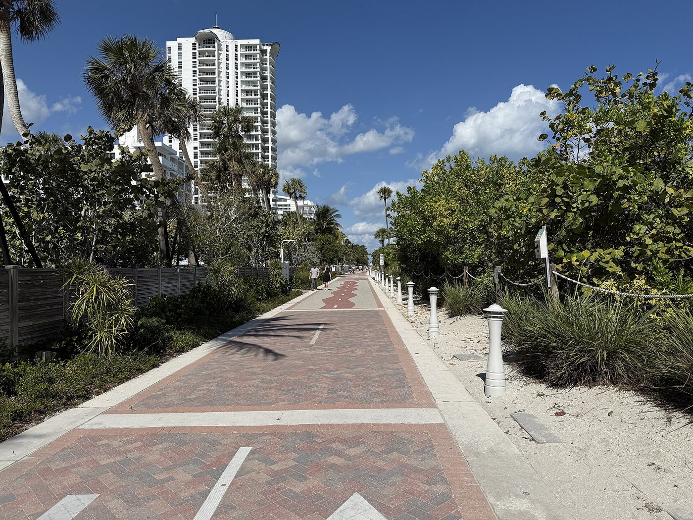
Miami Beach Boardwalk
Miami Beach’s oceanfront route is now a connected Beachwalk, even though the older name boardwalk remains familiar.
Continue reading
Follow waterways, bridges and former transport corridors through the city.
Dough4872 · CC BY-SA 4.0. Resized; thumbnails may be cropped.
Miami Beach’s oceanfront route is now a connected Beachwalk, even though the older name boardwalk remains familiar.
Continue reading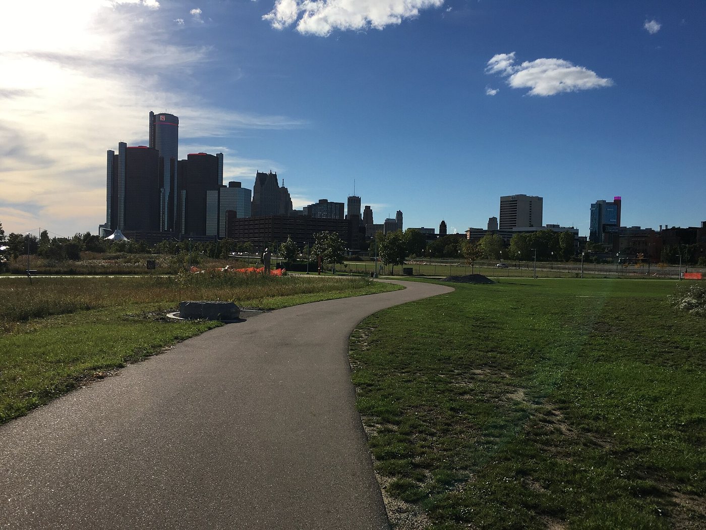
Fredlyfish4 · CC BY-SA 4.0. Resized; thumbnails may be cropped.
How a continuous waterside route emerged from separate parcels, industrial land and neighborhood connections.
Continue reading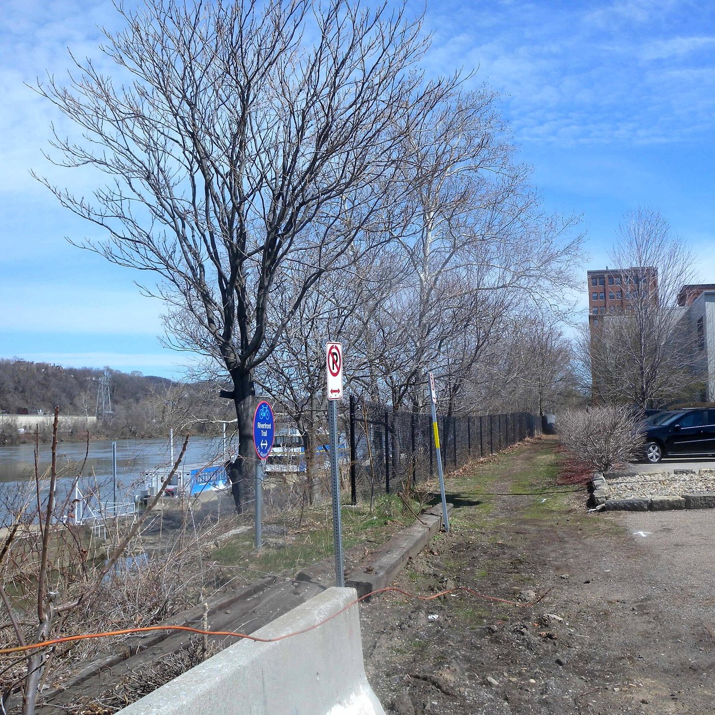
The trail network makes river geography legible, provided that branches and crossings are planned together.
Continue reading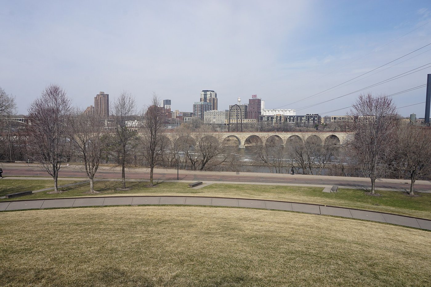
Michael Barera · CC BY-SA 4.0. Resized; thumbnails may be cropped.
A former railway crossing reveals engineering history as well as the riverfront landscape.
Continue reading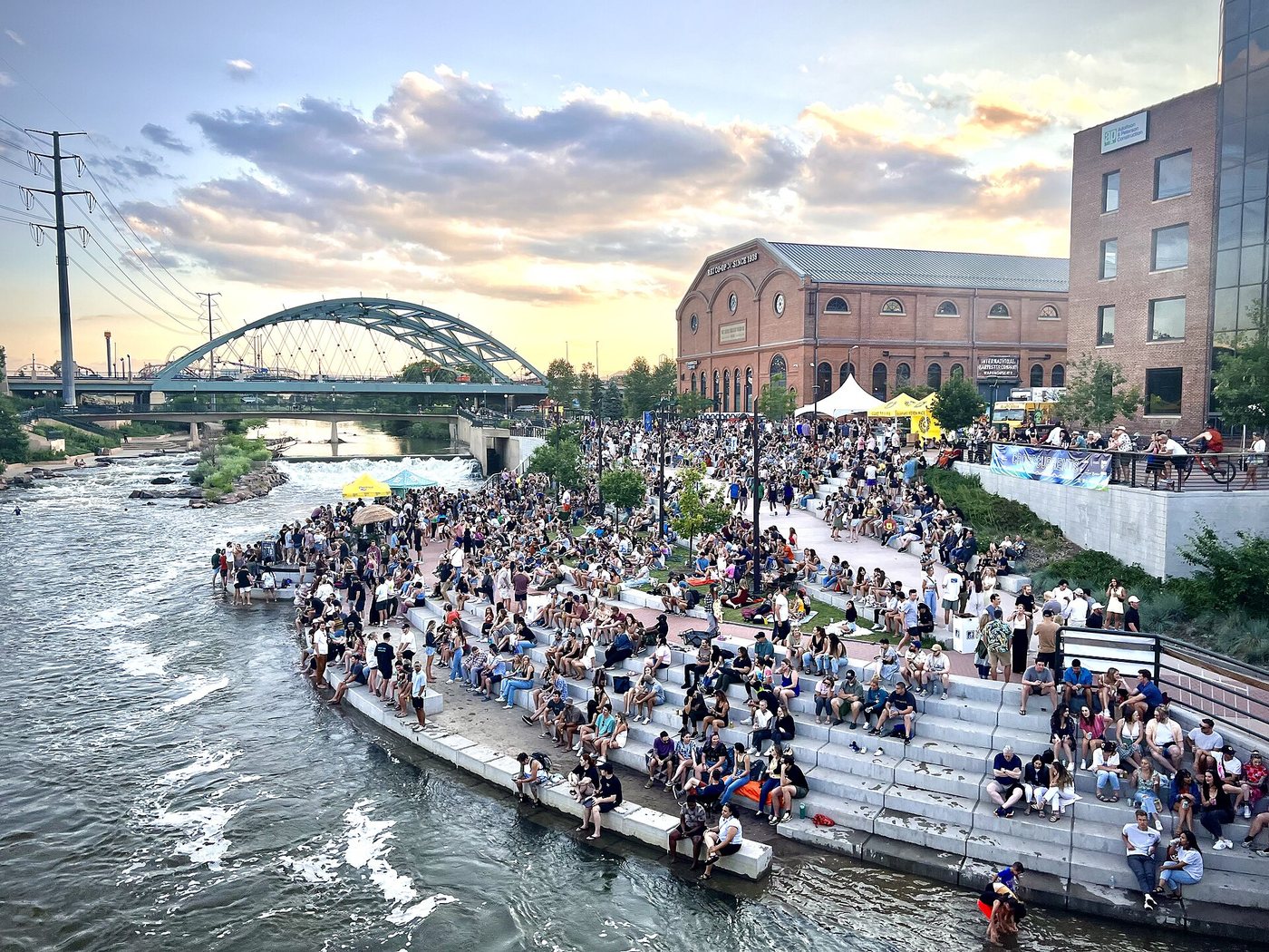
At Confluence Park, the meeting of Cherry Creek and the South Platte River explains both the path network and a long river-restoration effort.
Continue reading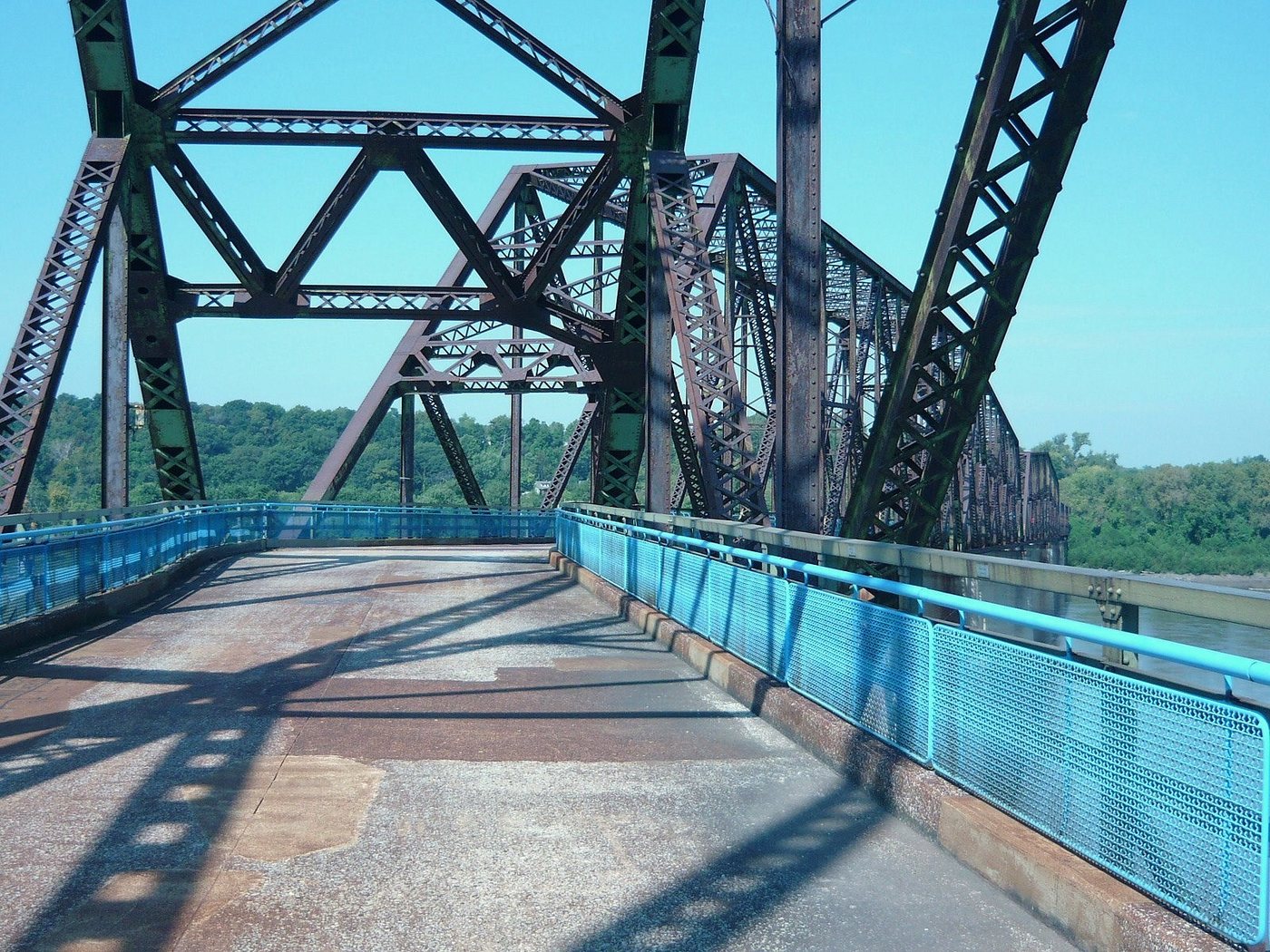
Wilke339 · CC BY-SA 4.0. Resized; thumbnails may be cropped.
The Old Chain of Rocks Bridge’s bend reflects constraints in the river, while its later reuse turns a former road crossing into a walking and cycling route.
Continue reading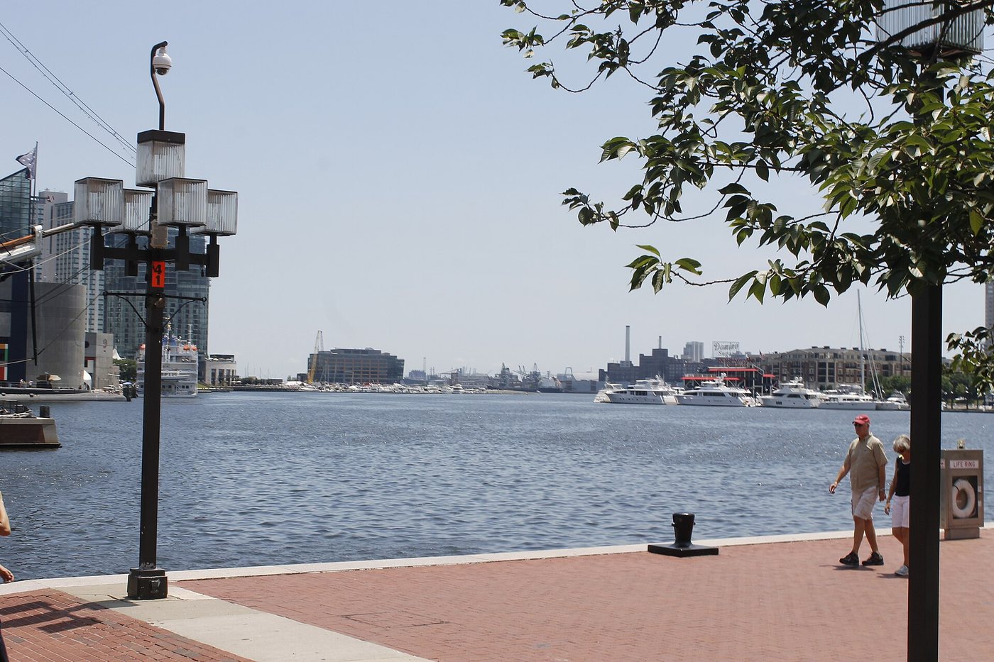
Bohemian Baltimore · CC BY-SA 4.0. Resized; thumbnails may be cropped.
Baltimore’s Inner Harbor can be understood as a changing relationship between water, former port land and a continuous public edge.
Continue reading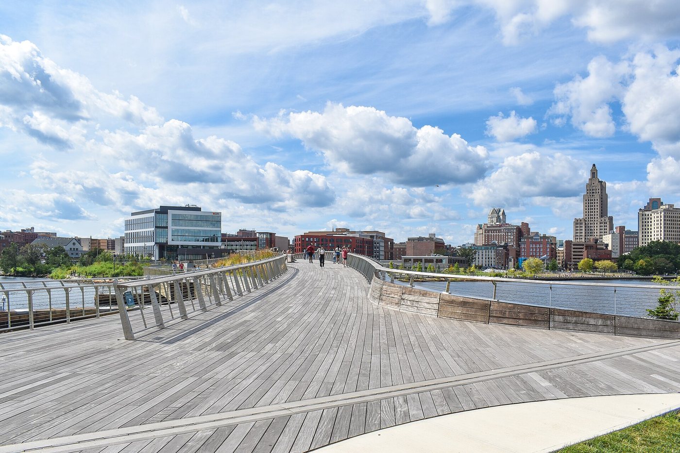
The Michael S. Van Leesten Bridge links the river’s two sides while providing room to pause, gather and look along the water.
Continue reading


